

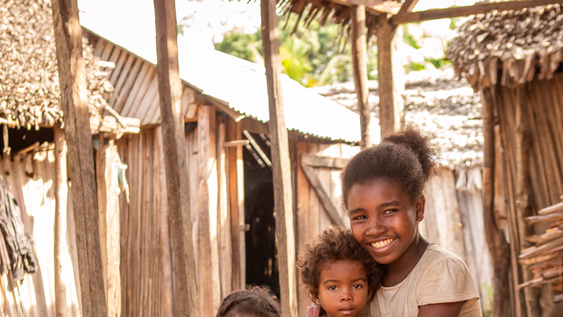
Every year, between November and April, the warm water east of Madagascar becomes an engine. It builds storms, spins them up, and throws them west onto one of the poorest and most exposed coastlines on Earth. For the families living there, a cyclone is not only a night of wind. It is the morning after, when the well is fouled, the pump is gone, and the nearest safe water is a day’s walk away.
This article sets out how these storms are predicted, why they are intensifying, and why the honest scientific answer to that threat is not to predict every track but to adapt the things people depend on. For SaniTap, that thing is safe drinking water.
In one minute
- Madagascar sits in the world’s busiest cyclone corridor after the North-West Pacific: about 1.7 landfalls a year, most between January and March.[1]
- Three kinds of “prediction” answer three different questions: the weather forecast (which storm, which day), the seasonal outlook (busy year or quiet), and the climate projection (which coasts, how intense, over decades).
- The number of storms is roughly steady, but each storm is getting stronger and wetter as the ocean warms.[2][3]
- The same coasts are hit again and again. In 2023–2026, 17 of 51 damaged districts were struck more than once; one — Maroantsetra — four times.
- You cannot forecast a single track ten years out, but you can forecast where exposure is high and rising. That is the scientific basis for building cyclone-resistant water systems where the storms keep coming.
How a cyclone is born
A tropical cyclone is a heat engine. It converts warmth stored in the upper ocean into wind. Meteorologists have known since the 1960s that a handful of ingredients must line up for one to form:[4] a warm ocean (a sea-surface temperature of at least about 26.5 °C, reaching tens of metres deep), a moist atmosphere, weak vertical wind shear so the growing storm is not torn apart, enough Coriolis force to make the system spin (which is why cyclones do not form right on the equator), and a pre-existing disturbance to get things going.
Madagascar’s misfortune is geographic. It lies directly downwind of the South-West Indian Ocean basin, which produces around a dozen named systems a year, most of them between January and March. Over three decades, roughly 1.7 of these made landfall on Madagascar annually — more than any other Indian-Ocean landmass in the region.[1:1] The east and north-east coasts take the first blow, because that is the coast the storms reach first.
Three ways to “predict” a storm
“Predicting cyclones” means different things at different time horizons, and confusing them is the single most common mistake in public debate about climate and weather. It is worth being precise.
Weather forecasting — 0 to 7 days
For an approaching storm, forecasters run numerical weather prediction models — physics-based simulations of the atmosphere such as the ECMWF and GFS models — many times over with slightly different starting conditions. This ensemble produces the familiar “cone of uncertainty”: the spread of plausible tracks. In the South-West Indian Ocean the official warnings are issued by RSMC La Réunion, part of Météo-France.[5] Useful track skill now extends to several days ahead — enough to evacuate and pre-position supplies.
Seasonal outlook — weeks to months
Months ahead, forecasters cannot know which storm will form, but they can estimate whether the season will be busy or quiet. The main levers are large-scale ocean-atmosphere patterns: the El Niño-Southern Oscillation (ENSO) and the Indian Ocean Dipole, which shift where the warm water and rising air sit. These outlooks guide readiness and stockpiling.
Climate projection — years to decades
For the multi-decade question — the one that matters when you are pouring a concrete foundation — scientists use global climate models under emission scenarios, then downscale them to the region. These cannot and do not forecast an individual storm on an individual day. What they can tell you, with growing confidence, is how the character of storms is changing and which coasts remain exposed.[2:1][6] That distinction is the hinge of the whole adaptation argument, so the next section takes it head-on.
Fewer surprises, harder punches
The debate is not “more cyclones or not.” It is that each cyclone is carrying more energy and far more water than it used to.
Here is the finding that surprises people. Climate models do not robustly project more tropical cyclones overall; globally the total number may even fall slightly, and for the South-West Indian Ocean the frequency signal is weak.[7][3:1] What they do project, with much higher confidence, is a shift toward more intense storms: a greater share of Category 4-5 systems, higher peak winds, and heavier rainfall.[2:2][3:2]
The physics is not mysterious. A warmer ocean surface raises the thermodynamic “speed limit” a storm can reach — its potential intensity.[8] And a warmer atmosphere holds more moisture: the Clausius-Clapeyron relation gives roughly 7% more water vapour for every 1 °C of warming, which is why cyclone rainfall rates are projected to climb by about 14% at 2 °C of global warming.[3:3][9] For a low-lying coast, more rain and higher storm surge often do more damage than wind alone.
This is not only a model result. Off Madagascar, stronger systems have already become more common since the 1990s,[10] and formal attribution studies found that climate change increased the rainfall of the 2022 storms that battered Madagascar, Mozambique and Malawi.[11] The World Bank and USAID both rate Madagascar’s cyclone and flood hazard as high and rising.[6:1][12][13]
Key figures at a glance:
- ~1.7 cyclone landfalls a year, historically[1:2]
- +7% atmospheric moisture per +1 °C[2:3]
- +14% cyclone rainfall at 2 °C warming[3:4]
- High GFDRR cyclone hazard rating for Madagascar[13:1]
Lightning does strike twice
Proverbs are not physics. Lightning strikes tall objects repeatedly because of where they stand, and cyclones strike the same coasts repeatedly for the same reason: those coasts face the ocean that makes the storms. Exposure is a property of place, and it recurs.
Our own reconstruction of the last four cyclone seasons makes this concrete. Of the 51 Malagasy districts with documented cyclone damage between 2023 and 2026, 17 were hit more than once. The district of Maroantsetra, on the north-east coast, was struck by four separate cyclones in that window: Cheneso, Gamane, Dikeledi and Jude.
Districts struck more than once, 2023–2026 (SaniTap damage reconstruction, sourced to BNGRC, UN OCHA, IFRC, UNICEF):[14]
- Four hits: Maroantsetra
- Three hits: Ampanihy, Antsiranana II
- Two hits: Toamasina II, Vohemar, Toliara II, Sambava, Ambilobe, Vohipeno, Manakara, Marovoay, Morombe, Morondava, Andapa
Step back to the regional scale and the pattern is even clearer. The east and north-east coast is the country’s standing first-strike zone. Map the last four years of landfalls onto the historical exposure and they fall, almost without exception, on the same red belt — the coast that climatology said was most exposed in the first place.[10:1]
You can see the full spatial picture, with every recent landfall and every SaniTap Phase 1 site plotted on the exposure map, in the interactive Cyclone-Resistant Safe Drinking Water map.
From prediction to adaptation
Put the three ideas together and the strategy writes itself. We cannot forecast which village a cyclone will hit in 2032. We can say, with confidence, that the east and north-east coasts will keep being hit, and that when a storm comes it will very likely be wetter and stronger than the storms of twenty years ago. Prediction at the decadal scale is not about the track. It is about the envelope of exposure — and that envelope is both stable in space and worsening in intensity.
Adaptation is what you do when you know where the blow will land but not the day. You strengthen what people cannot live without.
For water, the case is stark. A cyclone does not just knock over a pump; it contaminates the source. Floodwater carries sewage into open wells; storm surge pushes salt into coastal aquifers; broken pipes let filth into the supply. After Cyclone Gamane in 2024, around 700 water points needed disinfection or rebuilding.[14:1] Then comes the second wave: with no safe water, waterborne disease follows within days. And because the same place will be hit again, a fragile point rebuilt the same way simply fails again at the next storm. That is the cycle adaptation has to break.
What “cyclone-resistant” actually means
A cyclone-resistant safe drinking-water (CRSDW) system is engineered to keep working through and immediately after a storm, not just on a calm day. The principles are unglamorous and effective.
- Elevated, anchored tank. Above flood level, bolted to a reinforced base so wind and water cannot move it.
- Sealed, raised wellhead. Stops floodwater and sewage entering the source — the main route to contamination.
- Protected pump housing. Enclosure rated to survive Category-4 winds and flying debris.
- Rapid disinfection kit. Chlorination and testing to bring water back safely within hours of the storm.
- Community-scale standpipes. One system serves ~2,500 people — the reach that justifies the build.
Each addresses a specific failure mode seen in real Malagasy cyclones: flooding, contamination, wind damage, and the days-long gap before supply returns.
SaniTap’s programme applies exactly the logic of this article. We rank Malagasy districts by a transparent composite of recent damage, how often each place has been struck, and projected future exposure, and build first where that score is highest. The result is a prioritised plan for cyclone-resistant water systems in the communities the science says will keep facing the storm.
Prediction tells us where. Adaptation is what we build there.
For the full site-selection methodology and current Phase 1 map, see the Restoration after Loss and Damage section on Our Services and the live CRSDW map.
Sources
Mavume, A. et al. (2010). Climatology and landfall of tropical cyclones in the South-West Indian Ocean. Western Indian Ocean Journal of Marine Science. Available at ajol.info. ↩︎ ↩︎ ↩︎
IPCC (2021). AR6 Working Group I, Chapter 11: Weather and climate extreme events in a changing climate. Available at ipcc.ch. ↩︎ ↩︎ ↩︎ ↩︎
Knutson, T. et al. (2020). Tropical cyclones and climate change assessment: Part II. Bulletin of the American Meteorological Society. Available at dspace.mit.edu. ↩︎ ↩︎ ↩︎ ↩︎ ↩︎
Gray, W. M. (1968). Global view of the origin of tropical disturbances and storms. Monthly Weather Review. Available at journals.ametsoc.org. ↩︎
RSMC La Réunion / Météo-France — official South-West Indian Ocean cyclone warnings. Available at meteofrance.re. ↩︎
World Bank Climate Change Knowledge Portal. Madagascar: tropical cyclones (projections). Available at climateknowledgeportal.worldbank.org. ↩︎ ↩︎
Nash, D. et al. (2015). Tropical cyclone activity over Madagascar during the late nineteenth century. International Journal of Climatology. Available at rmets.onlinelibrary.wiley.com. ↩︎
Emanuel, K. (2003). Tropical cyclones. Annual Review of Earth and Planetary Sciences — the classic “potential intensity” paper. Available at annualreviews.org. ↩︎
NOAA Geophysical Fluid Dynamics Laboratory. Global warming and hurricanes: an overview of current research. Available at gfdl.noaa.gov. ↩︎
ACAPS (2024). Madagascar: cyclone exposure and vulnerabilities — includes EM-DAT regional frequency data. Available at acaps.org. ↩︎ ↩︎
World Weather Attribution (2022). Climate change increased rainfall associated with tropical cyclones hitting Madagascar, Mozambique and Malawi. Available at worldweatherattribution.org. ↩︎
USAID. Climate Risk Profile: Madagascar. Available at pdf.usaid.gov. ↩︎
GFDRR ThinkHazard! Madagascar — cyclone hazard classified High. Available at thinkhazard.org. ↩︎ ↩︎
UN OCHA / BNGRC — Madagascar cyclone situation reports 2023–2026 (via ReliefWeb). Available at reliefweb.int. ↩︎ ↩︎